Is your site suffering from subsidence issues, possibly related to karstic features such as sinkholes, solution channels, or caves? Could your site be located on top of an abandoned mine, that is waiting to collapse? Is your site located in an urban environment where abundant sources of seismic and electrical noise make other types of subsurface surveys such as seismic refraction or resistivity ineffective? Mundell & Associates characterizes sites using microgravity imaging.
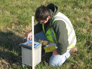
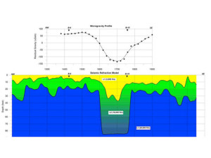
Microgravity imaging is a highly sensitive method for mapping slight changes in the earth’s gravity due to density variations in the subsurface. Because karst and mine features contain air-filled or water-filled open spaces, they will have dramatically differing densities than the surrounding, unexcavated or unsolutioned bedrock. These density variations translate into gravitational anomalies, which when plotted across a site, can delineate where the voids are present.
Because gravity is unaffected by the standard levels of seismic or electrical noise from traffic and utilities, it is an excellent technique for work within city limits.
Microgravity Imaging Applications
- Karst Mapping
- Sinkhole Delineation
- Abandoned Mine Locating and Characterization
- Bedrock Valley Identification
- Void Mapping


