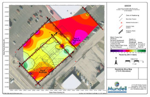
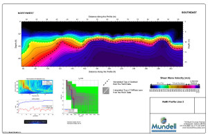
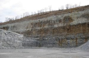
While geophysical imaging can be used to locate subsurface features we may wish were not present (think leaking drums), it can also be used to locate commodities we want to find. Mundell & Associates specializes in locating natural resources such as aggregate, clay, limestone, and coal.
With one to two days of data acquisition, we can determine the geology of a site, estimate a volume of resources present, and examine the viability of extraction for those resources.
While geophysics will never replace the need for the direct observation of sub-surface materials, our geophysical staff can maximize the potential of your subsurface exploration activities, while minimizing costs.
- Sand, Gravel, Coal, Sulfide Ore Exploration
- Stratiographic Mapping
- Fault and Shear Zone Mapping
- Fracture Delineation
- Igneous Intrusion Mapping


