Challenge
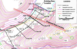
A mining company observed an unexplained, continual decrease in the water level of their mine water lake. As the existing dam appeared to be intact, the lead engineer assumed that subterranean karst features within the bedrock were responsible for the seepage. The mine asked Mundell to perform a detailed geophysical survey of the site to locate any such karst features, and to map out the pathways those sources were using to transmit water away from the lake.
Action
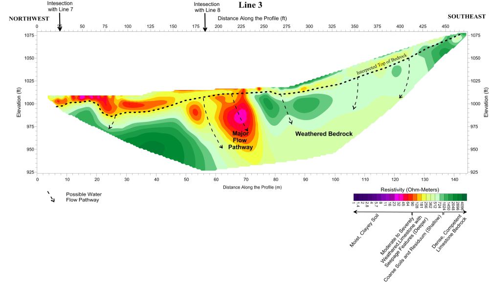
Mundell selected two dimensional resistivity profiling (2D resistivity) to examine the bedrock for topographic depressions, valleys, fracture zones, and other karst features beneath the site.
Results
In total, Mundell collected eight (8) resistivity profiles across the site, all of which showed some level of karst development within the bedrock. By tracing the most severe of these features across the site, Mundell was able detail the primary flow pathways, and make recommendations to the mine regarding the remediation of the seepage.


